Log in
All resources
Create a design
863,826 Free Images of Maps By Coronelli
maps made in the 17th century
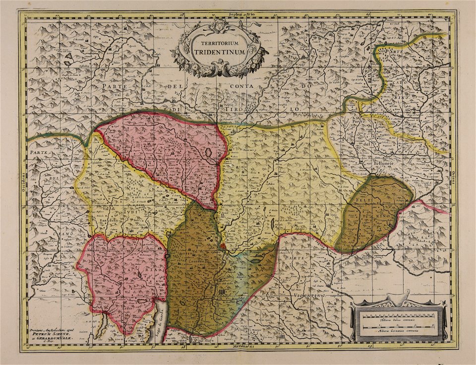
maps by pieter schenk (i)
gerard valck
atlantis magni tomus tertius (biblioteca comunale di trento)
atlantis magni tomus secundus (biblioteca comunale di trento)
maps by nicolaes visscher i
old maps of the balkans
arabic-language maps
al-idrisi maps
maps by alexandre vuillemin
volume 5 of le tour du monde
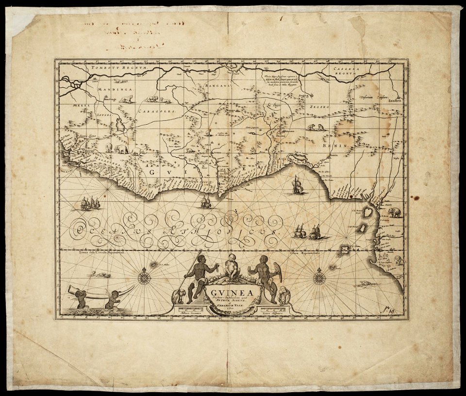
old maps of africa
maps by alexandre vuillemin
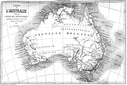
old maps of australia
maps by alexandre vuillemin
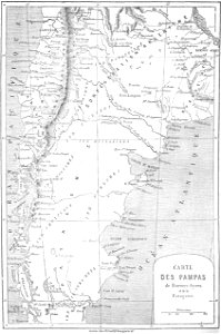
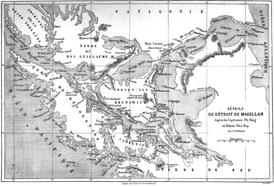
old maps of patagonia
maps by alexandre vuillemin
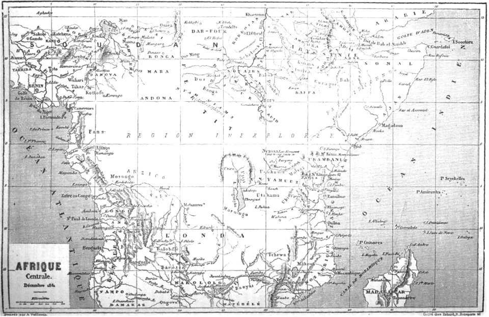
old maps of africa
volume 6 of le tour du monde
maps by alexandre vuillemin
volume 5 of le tour du monde
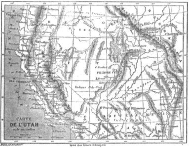
maps by alexandre vuillemin
volume 3 of le tour du monde
old maps of patagonia
maps by alexandre vuillemin
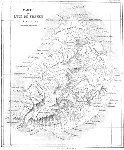
old maps of mauritius
maps made in the 17th century
maps by nicolaes visscher i
maps made in the 17th century
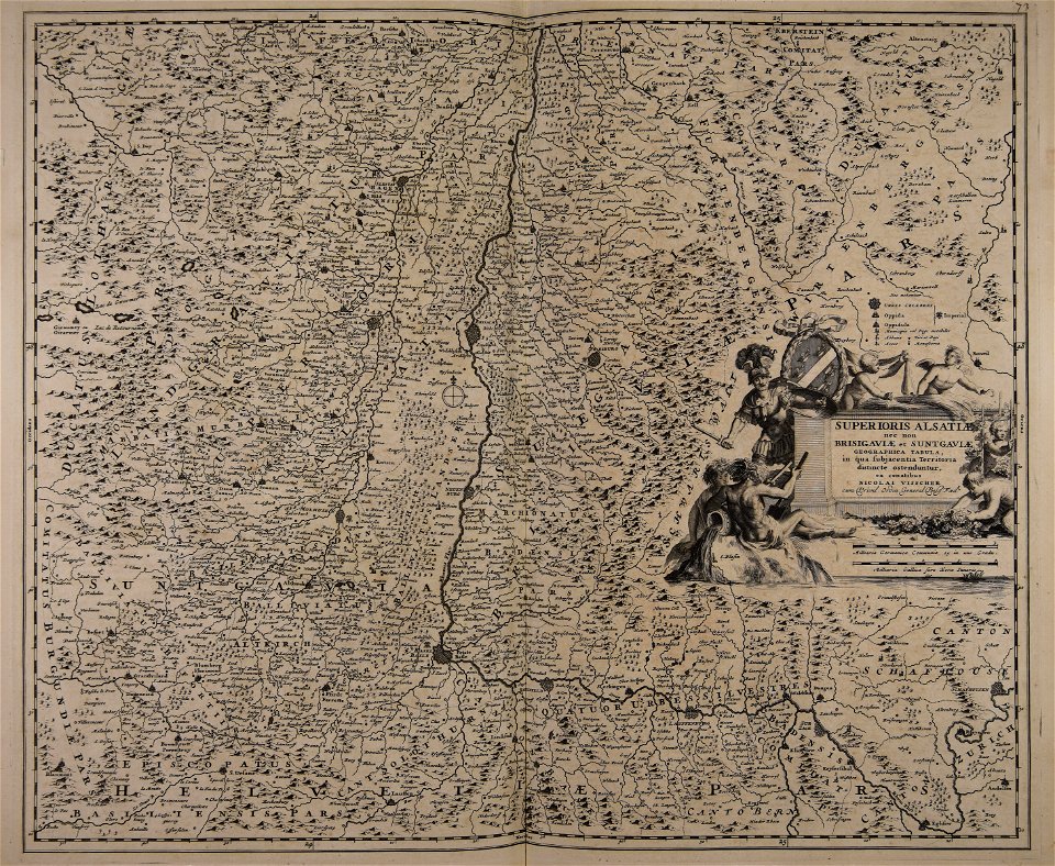
old maps of westphalia
maps made in the 17th century
maps by pieter schenk (i)
maps made in the 17th century
maps by nicolaes visscher i
maps made in the 17th century
maps by nicolaes visscher i
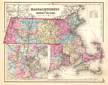
maps by joseph hutchins colton
1857 maps of massachusetts
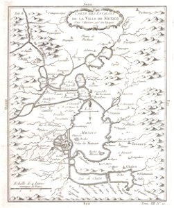
old maps of mexico
mexico
atlantis magni tomus quintus (biblioteca comunale di trento)
maps made in the 18th century
maps made in the 17th century
maps by nicolaes visscher i
maps by pieter schenk (i)
gerard valck
maps made in the 17th century
maps by pieter schenk (i)
maps made in the 17th century
maps by nicolaes visscher i
maps made in the 17th century
maps by nicolaes visscher i
maps made in the 17th century
maps by nicolaes visscher i
maps made in the 17th century
maps by nicolaes visscher i
maps by nicolaes visscher i
old maps of greece
maps made in the 17th century
old maps of gelderland
maps by nicolas sanson
northern michigan
atlantis magni tomus quintus (biblioteca comunale di trento)
maps made in the 18th century
the northern hemisphere of the celestial globe by albrecht dürer
old celestial maps
maps made in the 18th century
old maps of iran
maps made in the 18th century
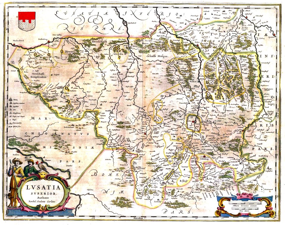
old maps of saxony
upper lusatia
kwisa
images from the new york public library
old maps of the tsardom of russia
maps made in the 18th century
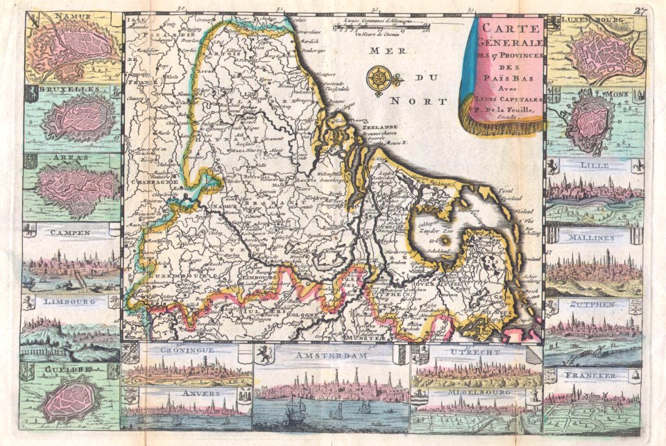
old maps of flanders
maps by jodocus hondius
samuel purchas
maps by gustav adolf von varendorf
maps by willem and johannes blaeu
maps by jodocus hondius
samuel purchas
maps by willem and johannes blaeu
maps by jonas brolin
kvarteret tegen
maps by willem and johannes blaeu
itinerarium hierosolymitanum et syriacum..., 1619
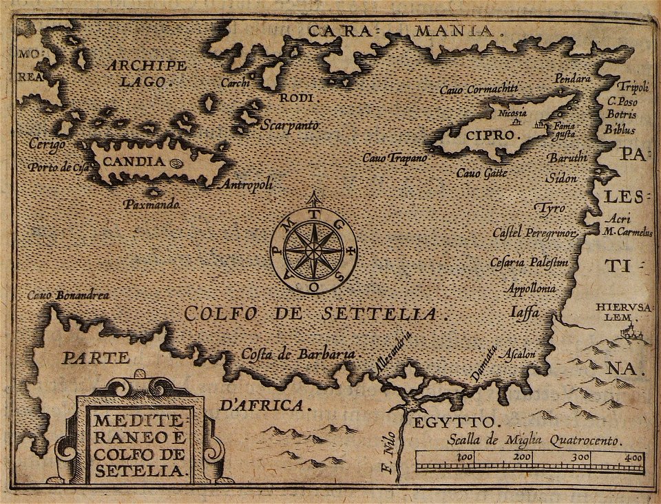
maps of the eastern mediterranean
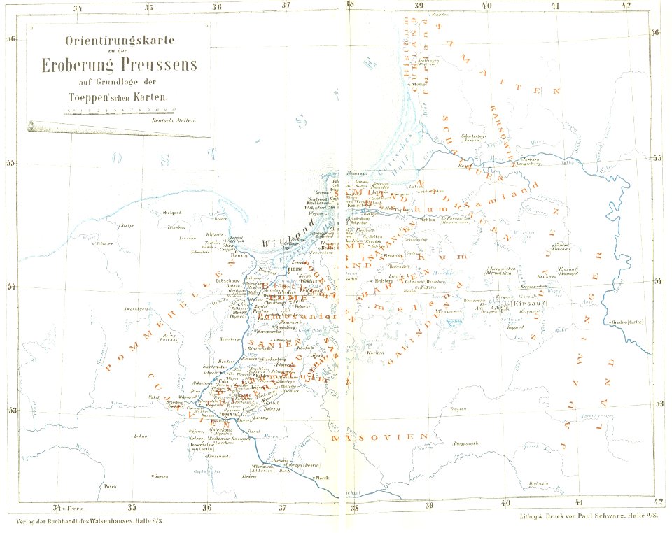
maps of prussia
1872 maps
maps with cartouches
braun & hogenberg
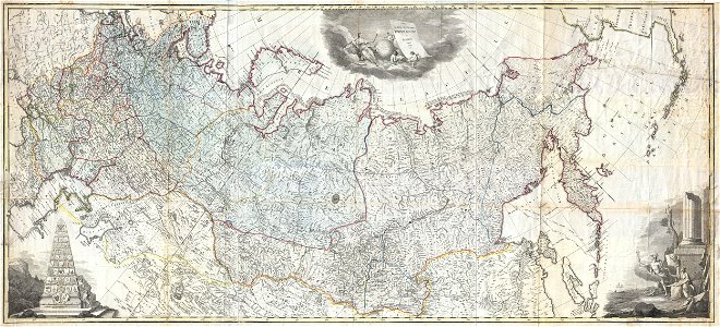
old maps of the russian empire
latin-language maps
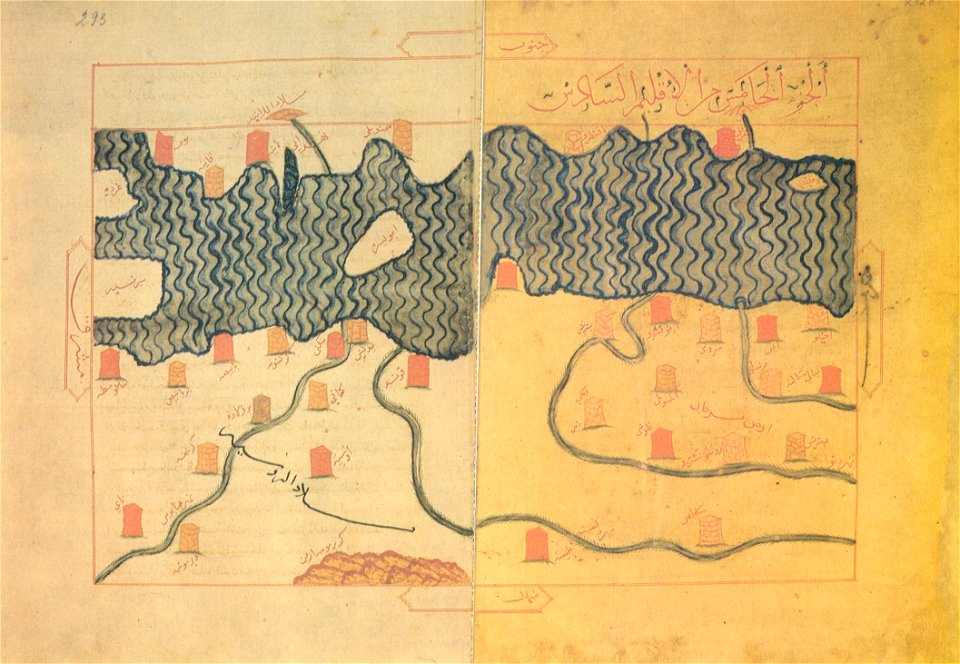
old maps of the balkans
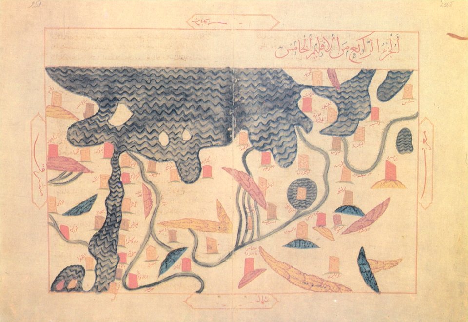
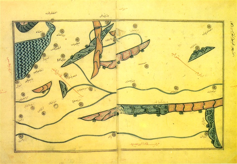
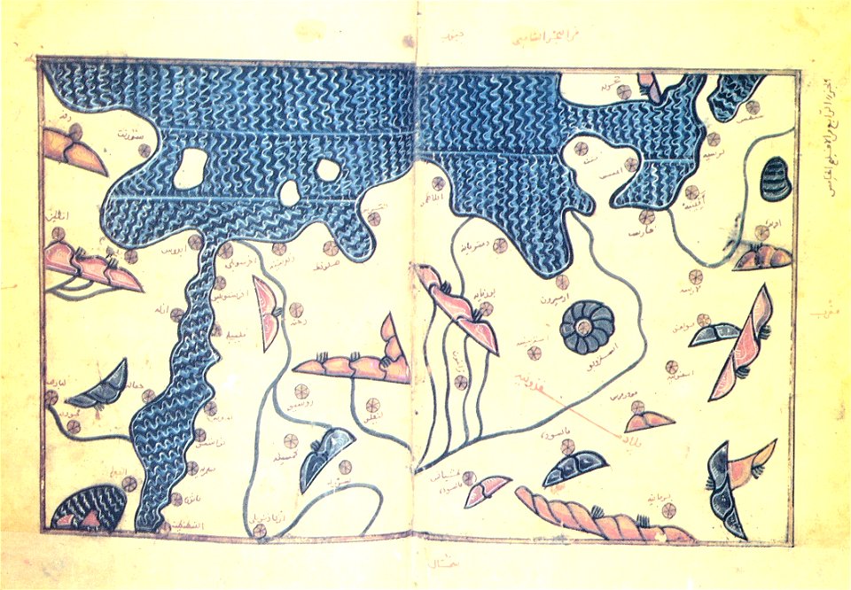
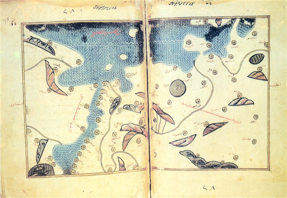
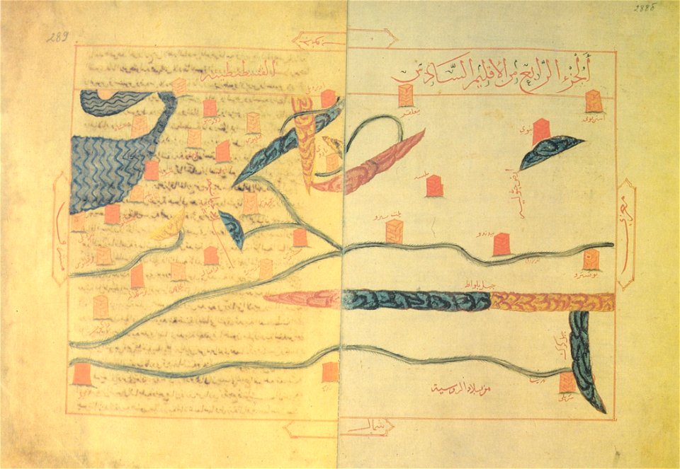
arabic-language maps
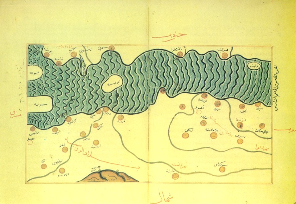
old maps of the balkans
arabic-language maps
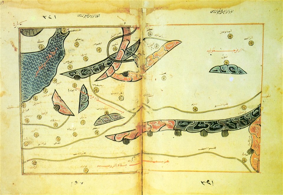
old maps of the balkans
arabic-language maps
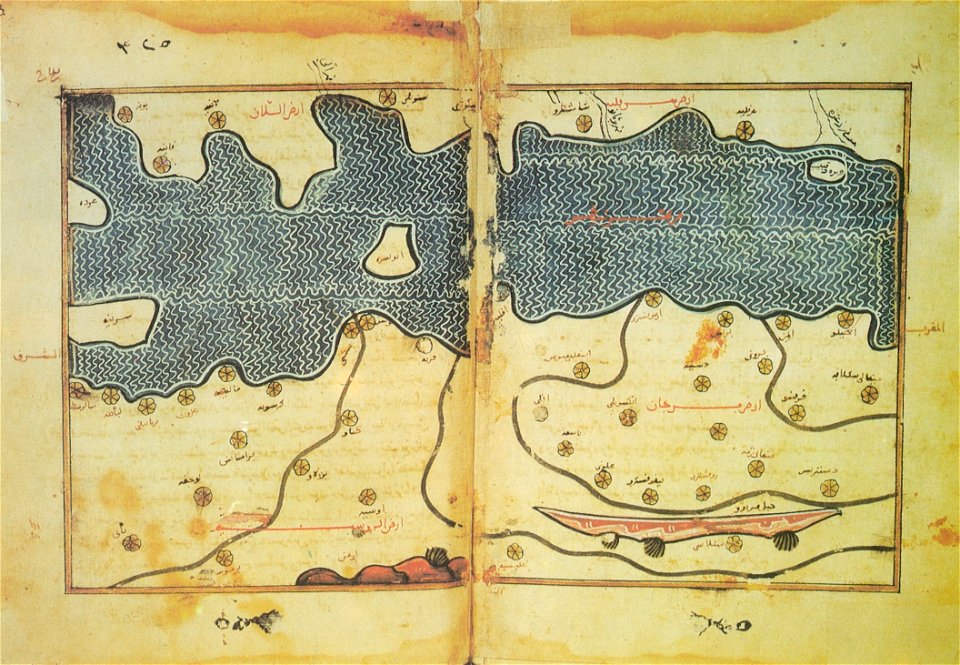
old maps of the balkans
arabic-language maps
old maps of the balkans
arabic-language maps
old maps of the balkans
arabic-language maps
old maps of the balkans
arabic-language maps
16th-century maps of slovenia
old maps of croatia
old maps of the balkans
arabic-language maps
old maps of the balkans
arabic-language maps
19th-century satirical maps
german-language maps
china in the 1700s
old maps of taiwan
17th-century maps of china
old maps of korea
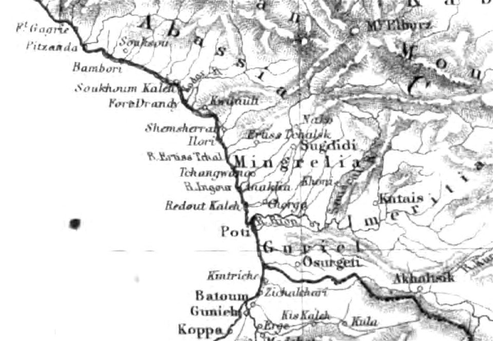
19th-century maps of the caucasus
old maps of the russian empire
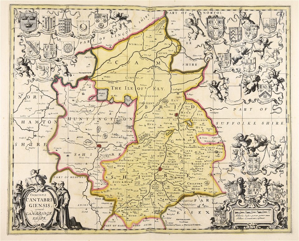
maps by nicolas sanson
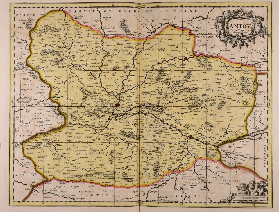
maine-et-loire
maps made in the 17th century
maps by nicolaes visscher i
saint vincent and the grenadines
maps of isla margarita
illustrations of cosmographia (münster)
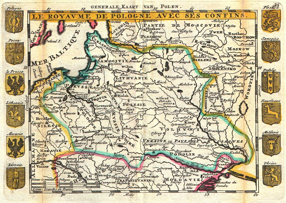
old maps of poland
maps with figures
frans hogenberg
ptolemaic world maps
latin-language maps
maps of the frankish territory
1892 maps
old maps of china
old maps of asia
old maps of greece
1896 maps
south dakota
iowa
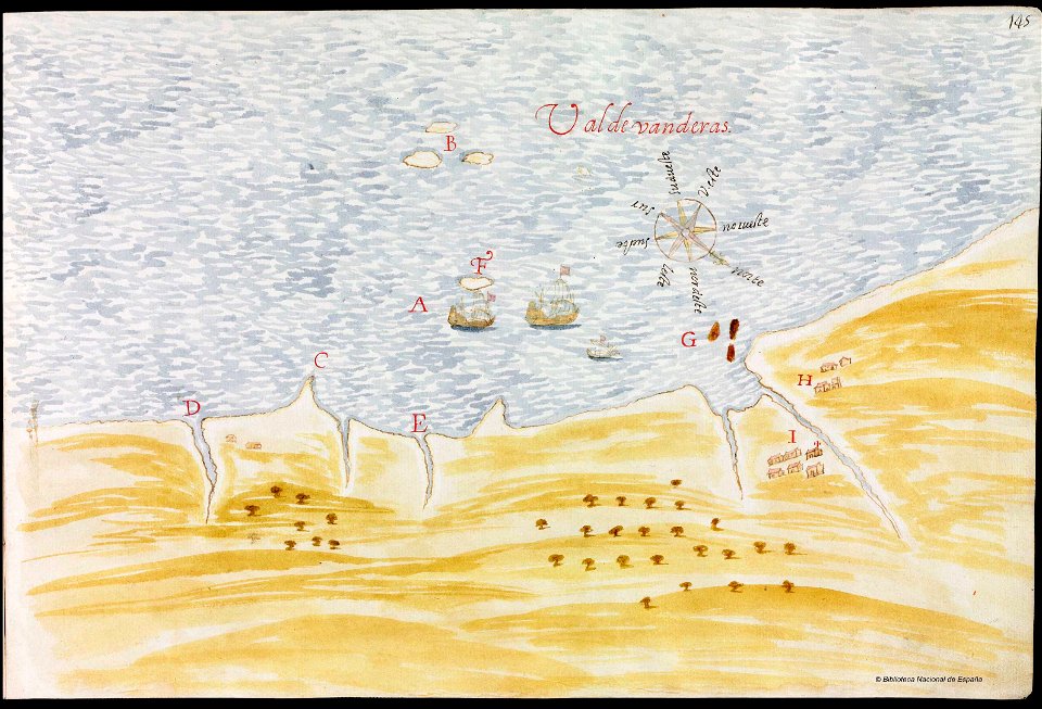
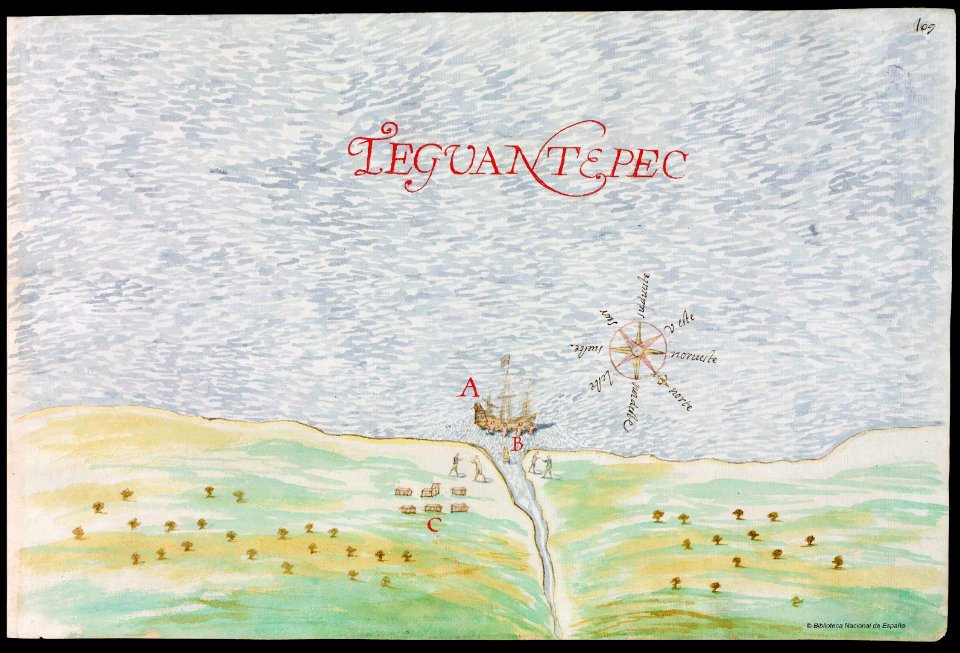
old maps of mexico
pictorial maps
nayarit
chacala
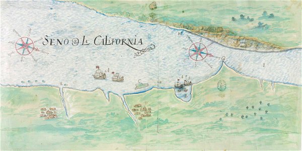
gulf of california
pictorial maps
old maps of mexico
pictorial maps
old maps of poland
johannes ratelband
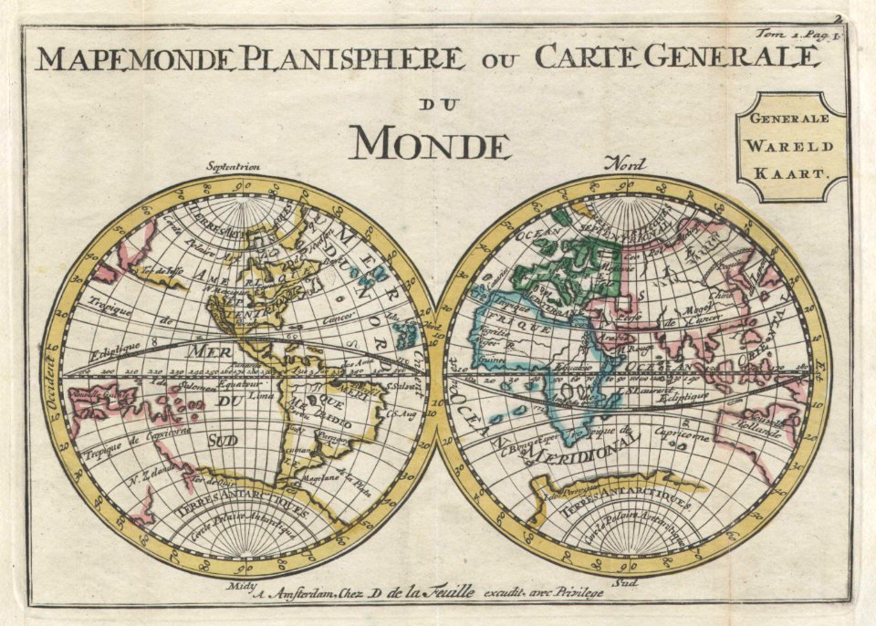
old maps of earth's hemispheres
double hemisphere world maps
french-language maps
1710 maps
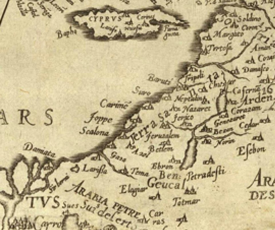
16th century maps of the middle east
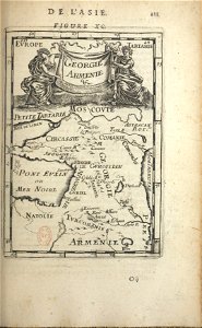
1590 maps of israel
1590 maps of armenia
1590 maps of turkey
gerard valck
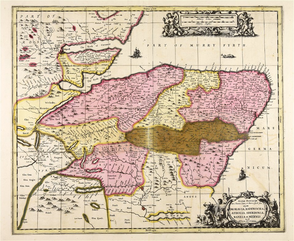
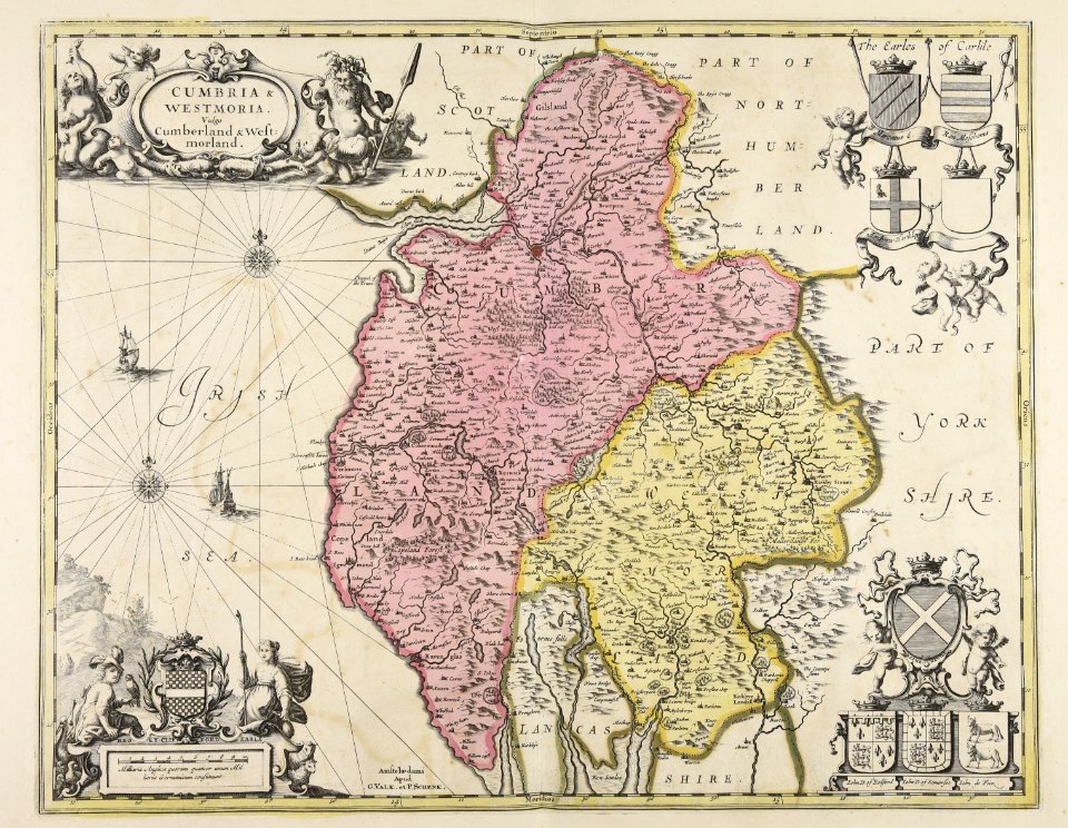
scotland
maps made in the 17th century
gerard valck
gerard valck
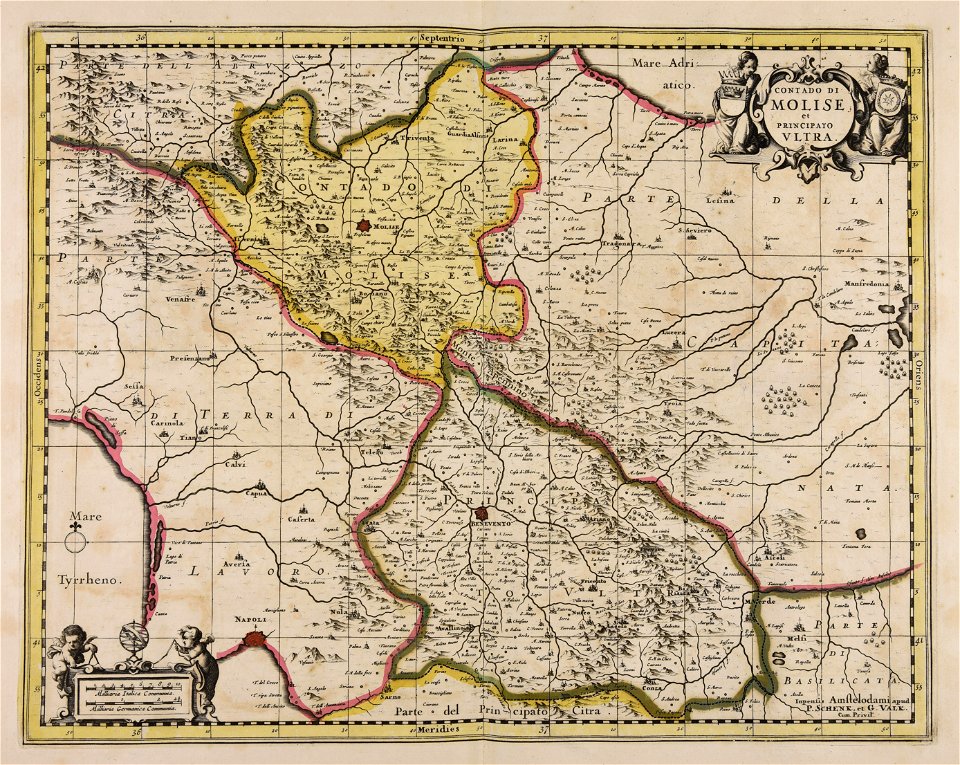
campania
maps made in the 17th century
gerard valck
maps made in the 18th century
old maps of europe
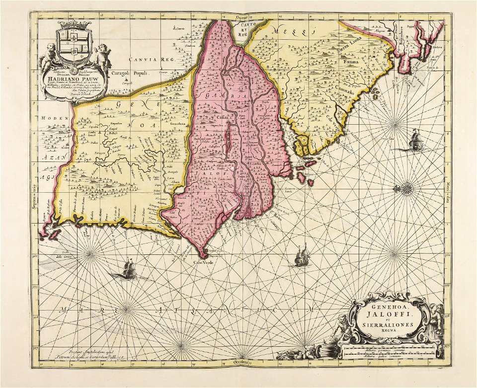
sierra leone
gerard valck
maps made in the 17th century
gerard valck
pictorial history of the russian war 1854-5-6 by george dodd
old maps of samegrelo
old maps of mecklenburg
gerard valck
old celestial maps
gerard valck
maps made in the 17th century
gerard valck
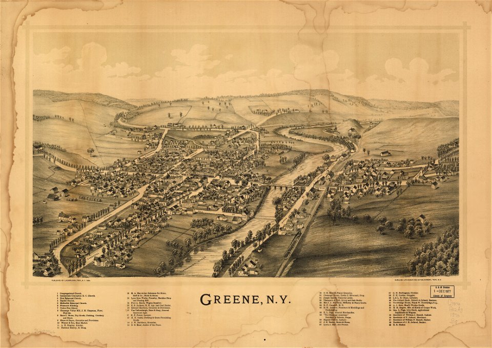
new york
green
maps made in the 17th century
gerard valck
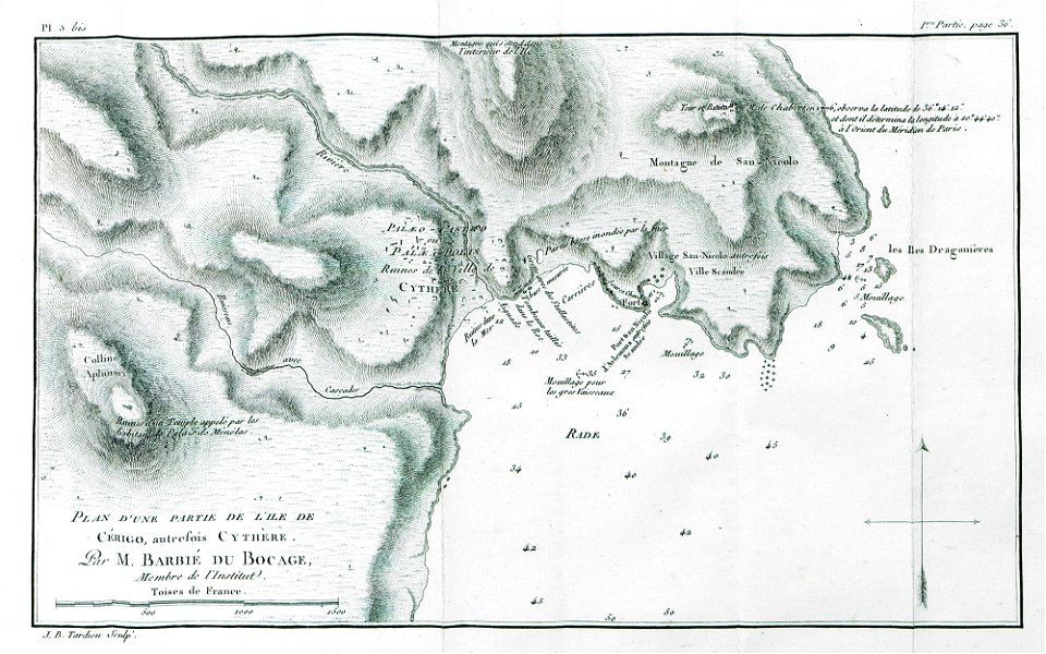
historical images of the ionian islands
avlemonas
maps made in the 17th century
gerard valck
maps made in the 17th century
gerard valck
maps made in the 17th century
gerard valck
maps made in the 17th century
gerard valck
maps made in the 17th century
gerard valck
maps made in the 17th century
gerard valck
old maps of mexico
pictorial maps
maps with cartouches
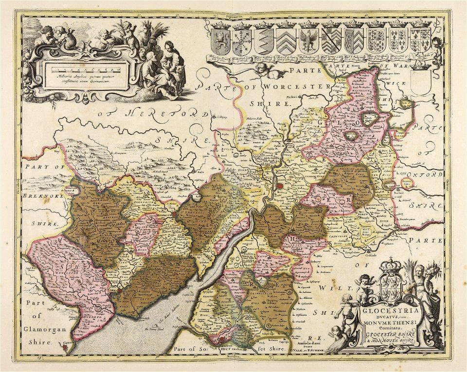
joan blaeu
17th-century maps of georgia
old maps of turkey
1501 - 1600 of 863,826
Next page
/ 8639